
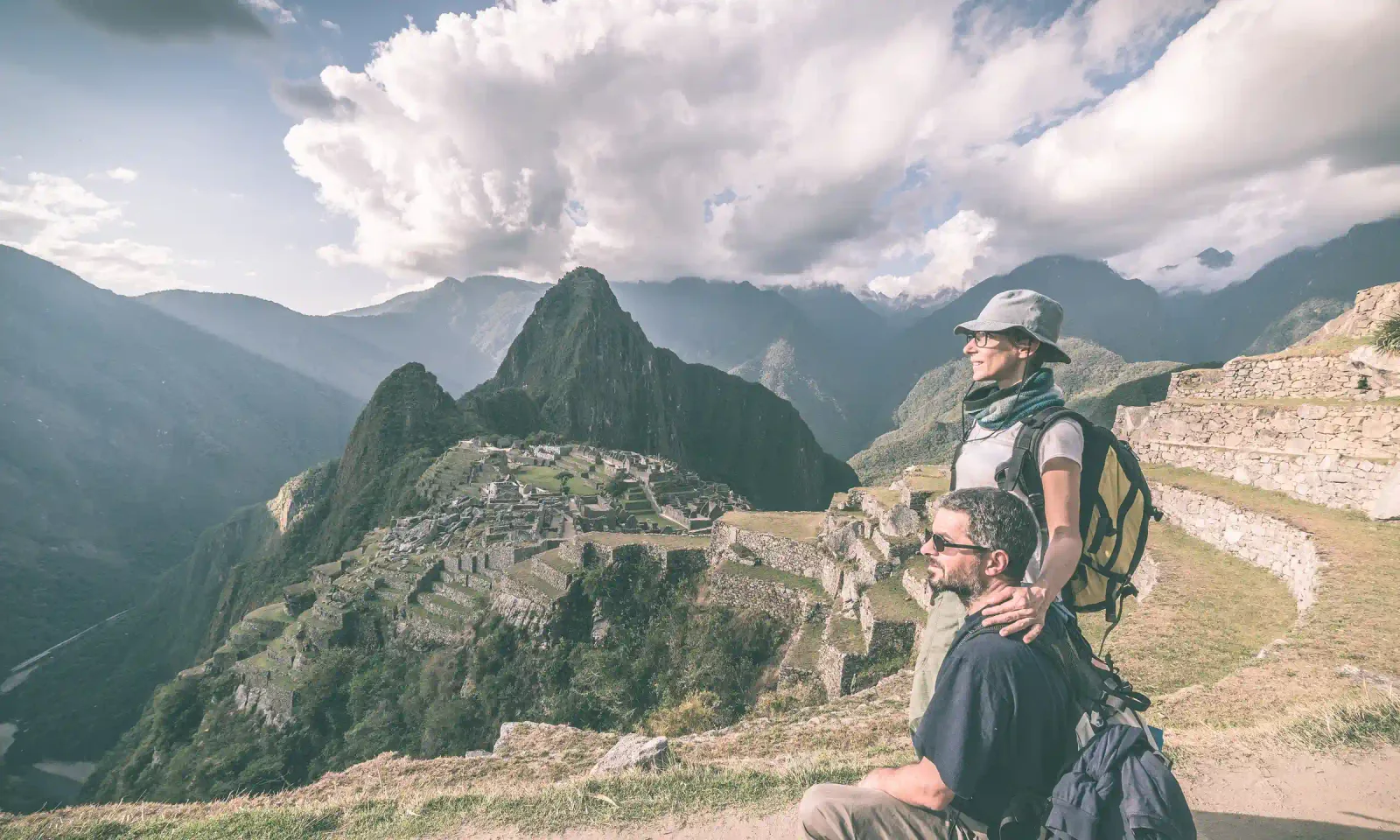
Machu Picchu is the most famous Inca site in South America — a 15th-century citadel of stone walls, terraces and temples set on a mountain ridge in southern Peru. But where exactly is it, how high is it, and how far is it from Cusco? This guide answers the most common location questions before you plan your trip.
Where is Machu Picchu located?
Machu Picchu is in Peru, in the south of the country, in the Cusco region. More precisely it sits in the district of Machupicchu, province of Urubamba, on the edge where the Andes mountains meet the high Amazon cloud forest. The ruins are protected inside the Historic Sanctuary of Machu Picchu, a national protected area.
| Fact | Detail |
|---|---|
| Country | Peru (South America) |
| Region | Cusco |
| Province / District | Urubamba / Machupicchu |
| Altitude (citadel) | 2,430 m / 7,970 ft above sea level |
| Distance from Cusco | ~112 km / 70 mi to the northwest |
| Coordinates | 13°10′ S, 72°31′ W |
| Nearest town | Aguas Calientes (Machu Picchu Pueblo) |
| Status | UNESCO World Heritage Site · New 7 Wonder of the World |
How high is Machu Picchu? (Altitude)
The Machu Picchu citadel sits at about 2,430 metres (7,970 ft) above sea level. A detail that surprises many travelers: Machu Picchu is actually lower than Cusco, which sits at around 3,400 m. That means the citadel itself is gentler on the body than the city you arrive in — most altitude discomfort happens in Cusco, not at the ruins.
The citadel is framed by two peaks you can climb with a separate ticket: Huayna Picchu (2,693 m), the iconic pinnacle in every postcard, and Machu Picchu Mountain (3,082 m), the higher, gentler hill opposite it. Far on the horizon rises the glacier of Nevado Salkantay (6,271 m), the highest mountain in the area.
How far is Machu Picchu from Cusco?
In a straight line Machu Picchu is only about 112 km (70 mi) northwest of Cusco, but there is no direct road to the citadel. The usual journey is from Cusco to Ollantaytambo in the Sacred Valley, then a scenic train to Aguas Calientes, and finally a short bus up to the entrance. Counting transfers, plan on roughly 3 to 4 hours each way.
What does "Machu Picchu" mean?
In Quechua, Machu Picchu means "old mountain". The complex was built in the mid-15th century, attributed to the Inca emperor Pachacutec, and was connected to the rest of the empire by the Qhapaq Ñan, the Inca road network. It has two areas — an agricultural sector of terraces and an urban sector of temples and homes — spread over roughly 10 hectares, inside a sanctuary of more than 32,000 hectares. UNESCO declared it a World Heritage Site in 1983, and in 2007 it was named one of the New 7 Wonders of the World.
Machu Picchu Location FAQ
Machu Picchu is in Peru, in South America. It lies in the Cusco region in the south of the country, near the city of Cusco.
It is in the Cusco region, province of Urubamba. The closest city is Cusco (about 112 km away); the nearest town is Aguas Calientes, at the foot of the mountain.
The citadel sits at about 2,430 m (7,970 ft) above sea level — lower than Cusco at 3,400 m, so the ruins themselves rarely cause altitude problems.
No. Cusco (3,400 m) is almost 1,000 m higher than the Machu Picchu citadel (2,430 m). This is why we recommend acclimatising in Cusco before visiting.
From Cusco you travel to Ollantaytambo, take the train to Aguas Calientes, then a short bus up to the entrance. The full trip takes about 3–4 hours each way.
Ready to see Machu Picchu in person?
Our local team runs guided day trips and multi-day tours to the citadel by train and by car — entrance ticket and bilingual guide included.